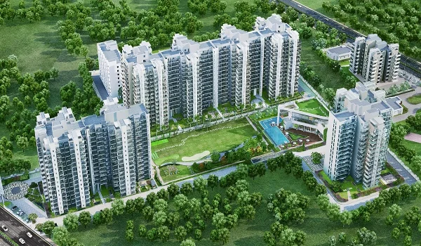
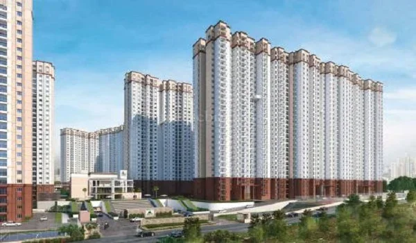
Godrej Regent Park Map

Featured Image of Godrej Regent Park Map


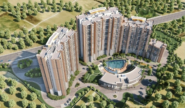
The Godrej Regent Park map shows the project's exact location in East Bangalore. Godrej Regent Park is located at Sy. No. 27/1, 27/3, 27/5, 27/8, 28/1 & 29/3, Kada Agrahara Village, Sarjapura Hobli, Anekal Taluk, Bengaluru Urban, Karnataka – 562125.

The project sits on Sarjapur Main Road, one of East Bangalore's fastest-growing residential corridors. The map clearly shows the coordinates as per Google Maps, which are given below:

Project Coordinates

  • Latitude: 12.862813
  • Longitude: 77.753186

These coordinates accurately identify the project's position on digital navigation platforms. Visitors can easily reach the township using Google Maps or other navigation applications.
What Else Does the Map Show Around the Project?


Beyond the pin, the map area covers tech parks, transit lines, schools, hospitals, and daily retail. Here's what sits nearby, based on road distance from the project gate.

Roads and Highway Access

  • The project sits directly on Sarjapur Main Road, tagged as NH 948. This corridor links straight to the city center and Outer Ring Road.
  • Outer Ring Road offers near-signal-free movement toward Electronic City.
  • The Satellite Town Ring Road, still under construction, will connect
  • Sarjapur to Anekal and Ramanagara. Outer Ring Road Junction itself sits about 1.8 km from the project.

Metro and Rail Connectivity

  • The upcoming Sarjapur Road Metro Station, part of the Sarjapur–Hebbal Metro Line (Phase 3), sits within 1 to 2 km of the site. This DPR-stage line will eventually run 37 km across 28 stations, from Hebbal to Sarjapur, with interchanges to the Purple, Blue, and Pink Lines.
  • The Carmelaram Suburban Rail Station is an option; it is about 3 km away.
  • If you need to go on a train trip, the Kengeri Railway Station is around 12 km away; it will take you around 20 to 25 minutes to get there by car.
  • The Cantonment Railway Station is also available and is 15 km away from the site.

Bus and Local Transit

  • The Kada Agrahara Gate bus stop is very close to the project gate. It is 2 minutes away.
  • The Sarjapur Main Road Junction stop is 1 km away, and the Dommasandra Circle stop is around 3 km from there.
  • BMTC buses come often from these stops to places in the city.

Tech Parks and Employment Hubs

Sarjapur Main Road anchors a strong IT employment base.

  • Wipro's Sarjapur campus sits about 9 km away, roughly a 20-minute drive off-peak.
  • Kalyani Planet Tech Park is close by too, around 10 km out.
  • Embassy Tech Village lies further, about 11.5 km from the site.
  • Brigade Software Park sits farthest at roughly 28 km via the Outer Ring Road.
  • Electronic City, reachable via the same road, sits about 18 to 19 km away.

Schools and Colleges

Families get several established schools within a short drive.

  • Indus International School sits around 5 km from the project.
  • The International School Bangalore, known as TISB, is about 6 km out.
  • Greenwood High International School lies roughly 8 km away.
  • Inventure Academy sits close to 10 km from the site.
  • Christ University Bangalore is the farthest option, at about 14 km.

Hospitals and Healthcare

Multi-speciality hospitals are spread along the Sarjapur Road corridor for both routine and emergency care

  • Motherhood Hospital Sarjapur is 9 km from the project.
  • Columbia Asia Hospital Sarjapur Road is 10 km away.
  • Manipal Hospital Sarjapur Road is located 12 km away.
  • Sakra World Hospital, which is on the Outer Ring Road, is the farthest, at around 14 km.

Malls, Retail, and Daily Essentials

  • D'Mart Sarjapur Road covers daily grocery needs just 0.8 km from the gate.
  • Metro Cash & Carry sits about 5.5 km away for bulk shopping.
  • Sarjapur Social offers dining and leisure roughly 8 km out.
  • Forum Mall Whitefield, the nearest large mall, sits about 18 km from the project.
  • Market Square Mall Sarjapur is closer, around 3.5 km away, an 11-minute drive.

Leisure and Local Landmarks

  • Kada Agrahara Gate Lake is located about 1.5 km from the project. It is a popular spot for morning walks and is open all day; it has free entry, which attracts people every day for exercise and bird watching.
  • Bellandur Lake is approximately 10 km away from the project, and it takes about 25 minutes to drive there.

Airport Connectivity

Kempegowda International Airport sits roughly 58 km from the project. The drive takes only 1 hour and 20 minutes via Outer Ring Road and NH 44. BMTC Vayu Vajra airport buses and 24-hour cabs operate right from the doorstep, making transfers simple for frequent flyers.

FAQs


1. Where exactly is Godrej Regent Park located?

It sits in Kada Agrahara village, off Sarjapur Main Road, Anekal Taluk, Bengaluru Urban district, PIN code 562125.

2. What are the coordinates of Godrej Regent Park?

The location reads 12.862813° N, 77.753186° E.

3. How far is Godrej Regent Park from the nearest metro station?

The upcoming Sarjapur Road Metro Station sits within 1 to 2 km, part of the Sarjapur–Hebbal Metro Line.

4. How far is the project from Bangalore airport?

Kempegowda International Airport sits about 58 km away, roughly a 1 hour 20-minute drive.

5. Which taluk does Godrej Regent Park fall under?

The project falls under Anekal Taluk in Bengaluru Urban district.

Godrej Regent Park Blog


Enquiry
Enquire Now